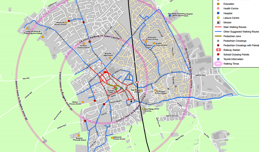
East Riding of Yorkshire Council has made its cycle maps, taking in a number of routes across the East Riding, available on smart phones and tablets.

Designed by the authority’s transport policy team, the maps can be found on the council’s website and downloaded using simple step-by-step instructions onto Garmin, MemoryMap or SatMap devices.
Eight cycle maps have been developed for:
• Beverley
• Bridlington
• Driffield
• Goole
• Haltemprice
• North Holderness
• Pocklington
• South Holderness.
These have proved very popular with local residents and visitors to the area.
Walking and cycling are healthier and less polluting alternatives to travelling by the car.
Encouraging more people to travel on foot or by bike can help reduce congestion on busy roads.
If you wish to view any of the cycle maps, visit www.eastriding.gov.uk/council/plans-and-policies/other-plans-and-policies-information/transport/transport-policy/#walkers-and-cyclists
Paper copies of the maps are also still available by emailing transport.policy@eastriding.gov.uk

More From HU17.net
 Smart Property Management: Strategies For Success
 Spotlight On Lifelong Learning: How Advanced Education Is Shaping Beverley’s Professionals
 Must-See Attractions in and Around Beverley
 Yorkshireman Olly Alexander is Representing the UK at Eurovision
 Beverley Businesses Thrive with a New Approach to Goal Setting


